
Coal terminals, river and coastal loading corridors and offshore transshipment areas from Balikpapan and Samarinda through Sangatta, Bengalon and Berau.
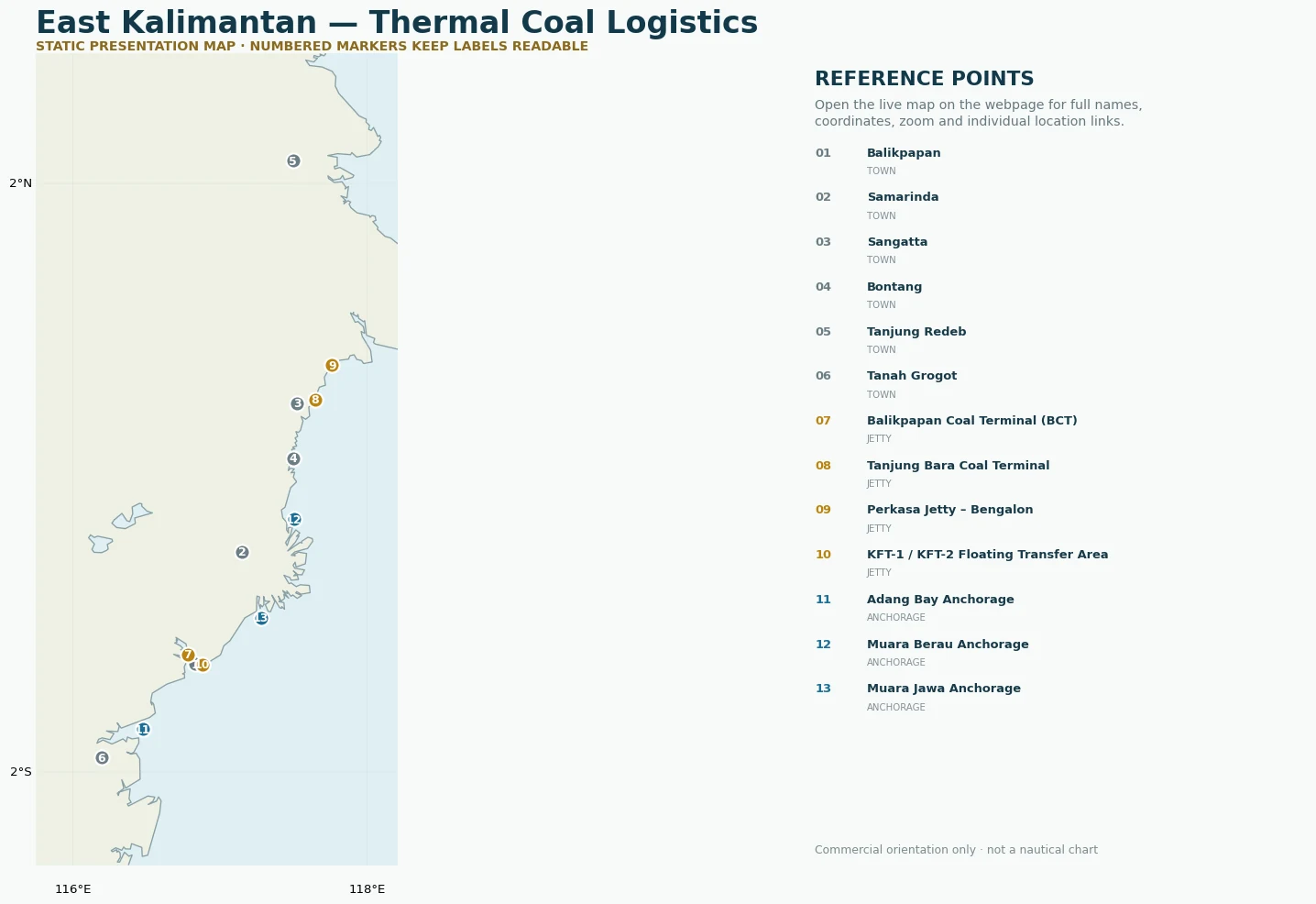
Gold/commodity-colour pins show loading, terminal or industrial reference points. Blue pins show offshore anchorages. Green pins show source or production belts. White pins show towns and geographic references.
These are market, sourcing and logistics reference points. Inclusion does not represent RSEC ownership, exclusivity, appointment or guaranteed access to third-party infrastructure.