
An upstream Barito logistics view separating inland towns from coal-processing, barge-loading and transfer facilities around Kelanis, Pendang and the upper-river corridor.
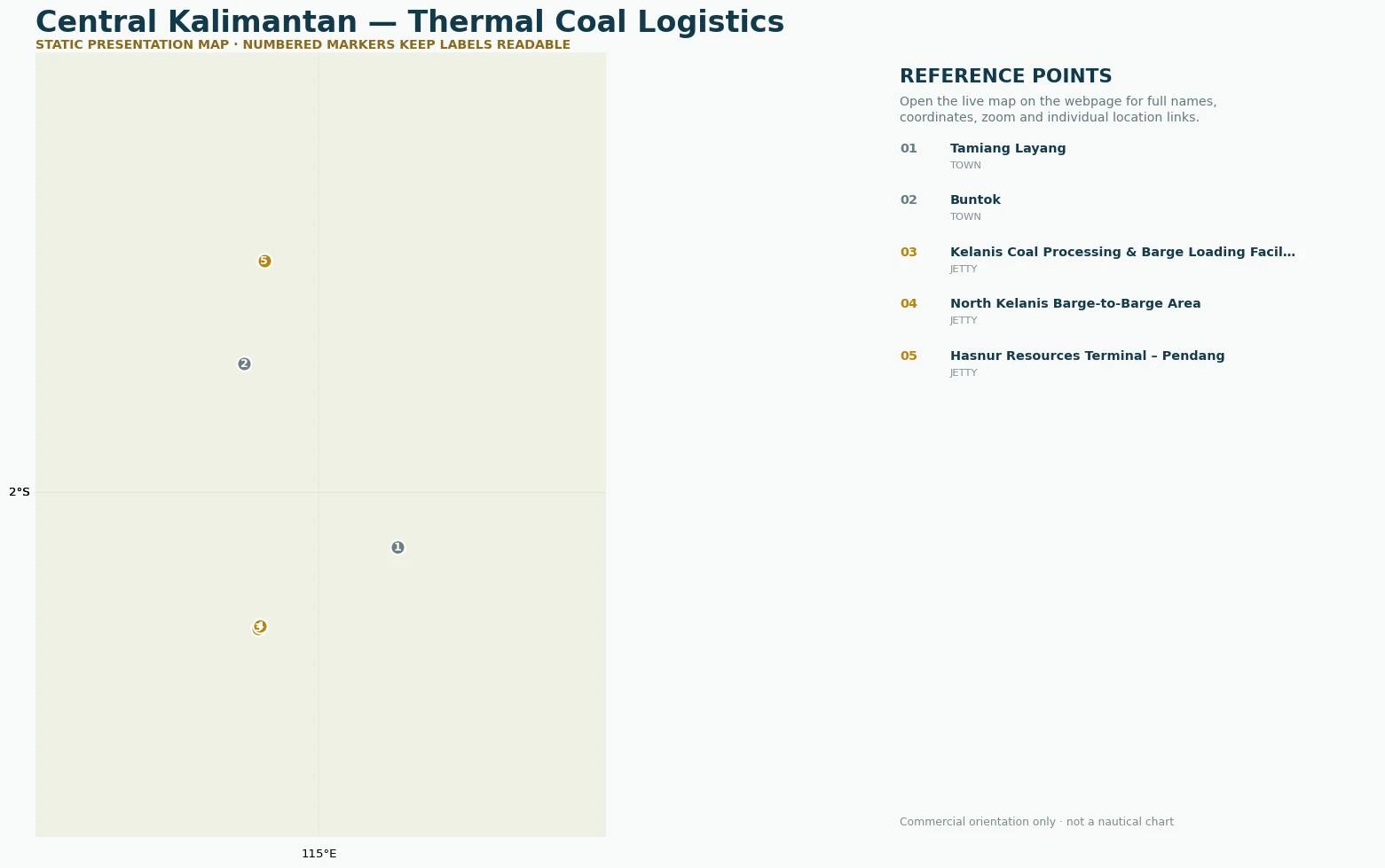
Markers separate towns, source belts, terminals / jetties and offshore loading references so geographic context is not confused with infrastructure.
Tamiang Layang is shown as an inland geographic reference, while Kelanis, North Kelanis and Pendang are separately classified as logistics facilities. Unverified private jetties are not invented.